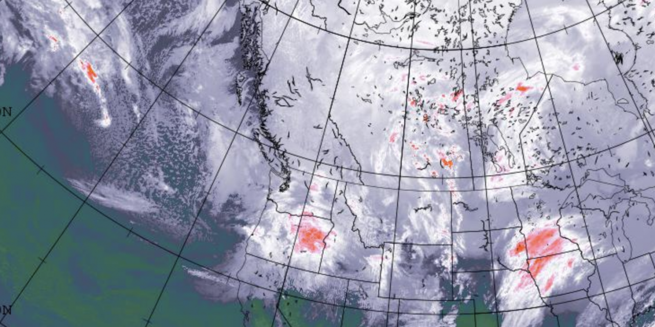
Image: Environment Canada.
A ridge of high-pressure from the Arctic is responsible for frigid temperatures and blowing winds across the Okanagan and much of Western Canada — and the icy temperatures are expected to stick around for a few days.
The arctic front rolled through the South Okanagan around 8 p.m. Jan. 12 and temperatures dropped overnight to a low of -14 C.
“We’re only expecting two, maybe three more nights of this cold weather yet, so through Wednesday night, and then it will start to modify towards the end of the week,” said Doug Lundquist, meteorologist with Environment Canada.
Wind gusts got as high as 70 km/h and expected to decrease overnight. Temperatures are expected to get as low as -15 C overnight Monday to -20 C overnight Tuesday. Environment Canada is forecasting slightly warmer temperatures starting Friday with a 60 per cent chance of flurries on Friday and Saturday.
While the temperatures dip near records for cold this time of year, they did not hit the record low of -19.8 C.
Lundquist reminded travellers to prepare for the worst case scenario of travelling on the roads.
“People that are travelling, stay safe, the roads have frozen really fast. There are icy conditions in places. If you are travelling long distances or are stranded and waiting for help, you don’t want to be in your running shoes. So warm clothes, blankets all that stuff,” Lundquist said.


