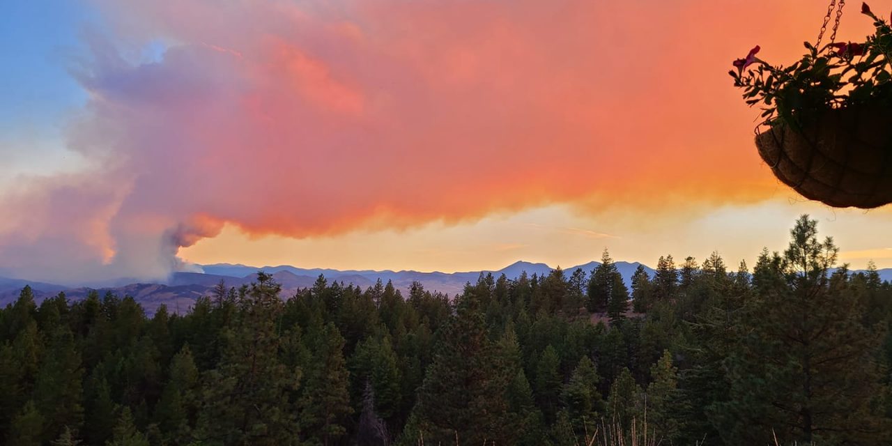
The Palmer Lake wildfire just out of the U.S.-Canada border continues to move northward, according to reports on Twitter.
The fire, which has been burning since Tuesday, August 18, has grown to over 2,400 hectares or 6,000 acres in size and continues to burn out of control.
Washington State fire meteorologist Josh Clark posted an updated map of the fire on Twitter on Thursday afternoon. Weather conditions today, said Clark in his tweet, are favourable as humidity is high, but Friday’s forecast is a concern, with highs of 30 degrees and wind gusts of up to 48 km/h.
#PalmerFire continues to march northward towards the Canadian border (red dots, newer heat detections). Humidities will be up today and tomorrow, but still very concerning day tomorrow with winds to 20 mph and gusts above 30 mph. #wawx #WaWILDFIRE pic.twitter.com/rgWs9C1406
— Josh Clark (@wafiremet) August 20, 2020
Live webcams footage of the fire burning just south of Nighthawk, Washington show nothing but smoke in the area.
Crews are on scene battling the blaze and firefighters in B.C. are on standby to help out when called upon.
The Town of Osoyoos’ Emergency Operations Centre (EOC) is providing updates on their wildfire webpage.
B.C. Wildfire Service is not providing updates on the status of the fire as it remains out of Canadian jurisdiction. Updates can be found on the Okanogan County Emergency Management website as well as by following the #WaWILDFIRE hashtag on Twitter.
[8:45PM] The latest time lapse of the Palmer Fire in northern Okanogan County near Loomis, WA. #PalmerFire #wawx pic.twitter.com/xnM9GYHpqA
— NWS Spokane (@NWSSpokane) August 20, 2020


