By Don Urquhart, Times Chronicle
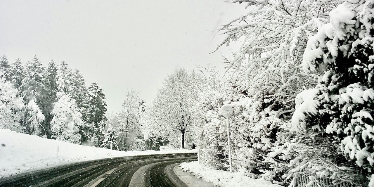
Another round of precipitation brought about by a Pacific frontal system, fuelled by an atmospheric river will bring more rain to parts of southwestern B.C. this evening, snow to the higher elevations and strong wind gusts to the Okanagan.
A “vigorous cold front” will move across southwestern BC, including the Interior tonight, according to a Special Weather Statement from Environment Canada.
The Coquihalla Highway – Hope to Merritt, a “Yellow Warning – Snowfall” has been issued by Environment Canada beginning Tuesday, Dec. 16 morning and continuing until Wednesday evening. Wind gusts up to 70 km/h are also expected.
Snowfall totals for today during the day are 5-10 cm, while 10-20 cm is expected overnight with an additional 10-15 cm likely on Wednesday. Total amount of snow expected is between 25 to 35 cm.
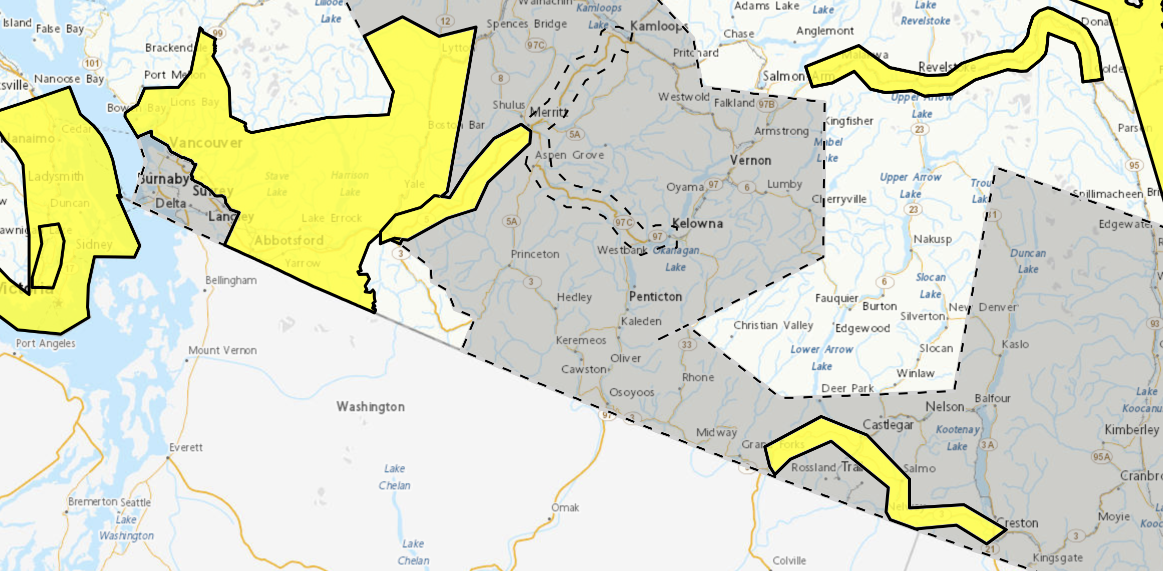
WeatherCAN’s new system of colour coded advisories. Pictured above are current alerts – yellow indicating Warnings and grey for Special Weather Statements.
In the wake of the front, strong southwesterly wind gusts will develop over parts of these regions overnight tonight with strong winds that may lead to possible tree damage, local power outages and travel delay. Winds will ease Wednesday morning as the front tracks eastward, according to the forecast.
The strong wind gusts will impact the Okanagan Valley, Similkameen, Nicola, South Thompson, Fraser Canyon, Chilcotin, 100 Mile and Cariboo. Coquihalla Highway, Okanagan Connector and Highway 97 – Clinton to 100 Mile House via Begbie Summit are expected to experience strong southwesterly wind gusts.
Winds will ease Wednesday morning as the front tracks eastward, Environment Canada said.
Further east the Boundary, West Kootenay, Kootenay Lake, East Kootenay, Elk Valley areas are also expected to get strong gusty winds up to 80 km/h. A “Winter Storm Warning” is in effect for Hwy. 3, Paulson Summit to Kootenay Pass from this afternoon (Tuesday) until Wednesday morning. Snowfall accumulations of 20 to 30 cm along with near zero visibility in blowing snow, are forecast.


