
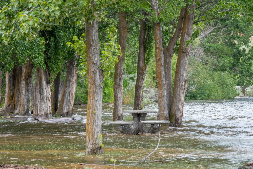
Much of Osoyoos Lake Park south of the town on Lakeshore Drive was under water last week. Lake levels are now down more than a foot since last Friday. (Richard McGuire photo)
The extreme conditions that led to last week’s flooding are now in decline, but snowpack levels in the Okanagan Basin are still exceptionally high for this time of year.
The snow basin index for the Okanagan was still at 228 per cent of normal on June 1, according to a bulletin released Wednesday by the B.C. River Forecast Centre.
The Similkameen Basin index, however, was down to 103 per cent – slightly above normal – suggesting that snowmelt entering the Similkameen River is diminishing and isn’t the problem it’s been in the past two weeks.
When water volumes in the Similkameen River are too high, as occurred last week, water backs up into the Okanogan River south of Oroville, WA. This can greatly impede the outflow of water from Osoyoos Lake at the Zosel Dam.
As of 11 a.m. Thursday, Osoyoos Lake’s level was at 913.66 feet above sea level – down more than a foot from the 914.89 feet reached last Friday.
The Similkameen River’s discharge at Nighthawk, WA, as of 10:30 a.m. Thursday as 9560 cubic feet per second – down to about half the 19,200 reached a week ago, according to the U.S. Geological Survey.
The B.C. River Centre’s recent snow survey suggests recent extreme conditions are behind us.
“High June 1 snow basin indices in the Okanagan and Kettle better reflect the high flows and flood conditions that have already occurred, rather than being an indication of future risk,” said the June 1 Snow Survey and Water Supply Bulletin.
“Inflows into Okanagan Lake appear to be declining and the risks for future rises in inflow rates and lake levels will be mainly driven by rainfall,” the bulletin continued.
The conditions in May led to something of a perfect storm. May was wetter than normal, particularly in the South Interior. Then extreme temperatures delivered heat throughout the B.C. Interior in the second half of the month, with daily temperatures reaching 8 – 10 degrees C above normal. These hot spells were interspersed with periods of wet weather.
The hot temperatures caused rapid melting of snow basins, which were much higher than normal for this time of year.
And this led to much higher inflows into lakes of the Okanagan.
“For example, inflows into Okanagan Lake in May were 240 per cent of normal, and similarly over the March to end of May period, inflows were 226 per cent of normal,” said the bulletin. “Preliminary analysis suggests that these inflows are 10 per cent higher than the previously recorded maximum inflows over these periods observed in the past 96 years.”
While any future flooding is more likely to result from rainfall than snowmelt, June is typically the wettest month of the year for most of the B.C. Interior, leading potentially to extreme flooding.
“Flood risks across the province from rain-driven runoff are expected to be on-going through June,” said the B.C. River Forecast Centre’s bulletin.
RICHARD McGUIRE
Osoyoos Times