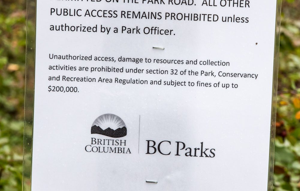
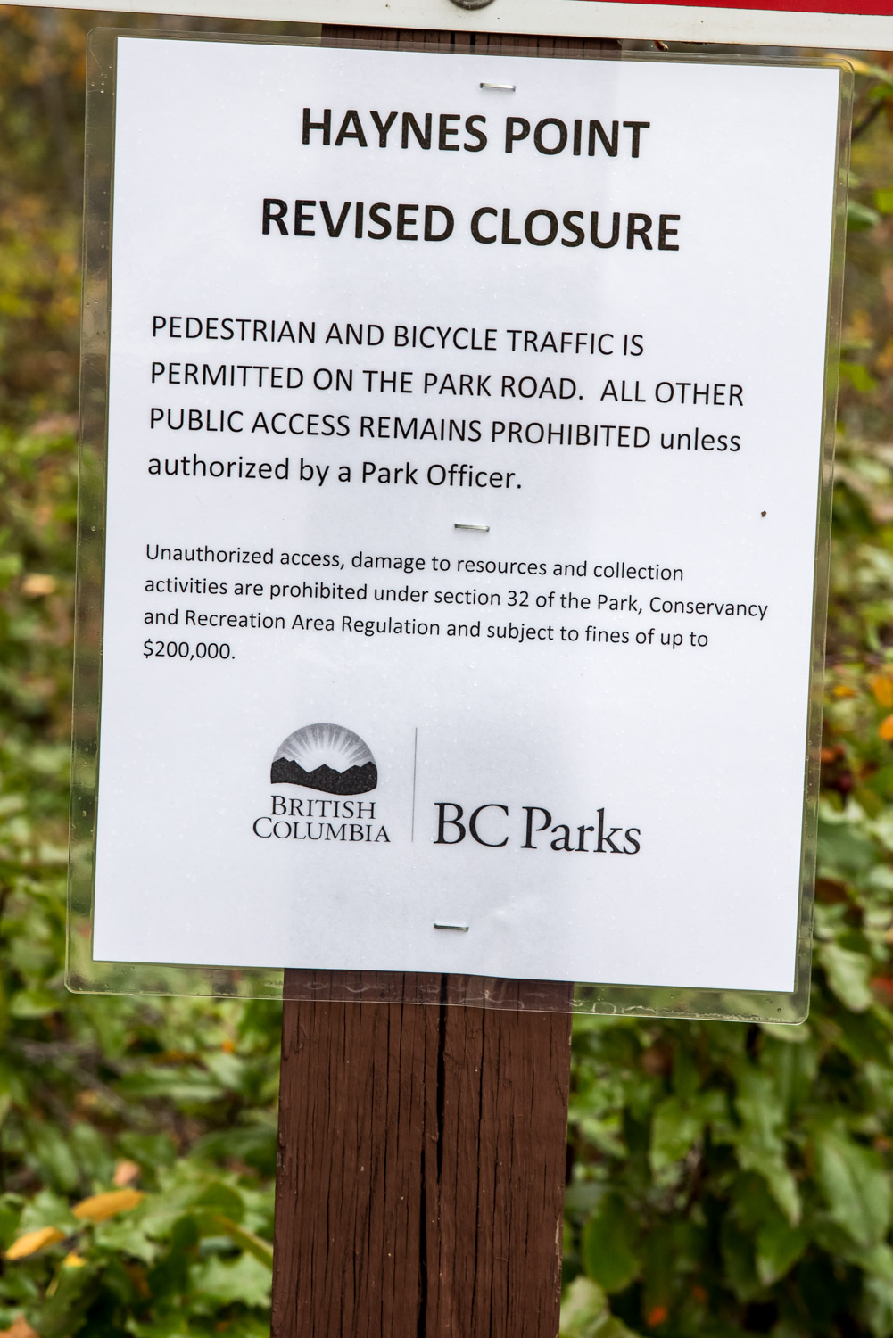
A new notice was posted Monday at the second gate in Haynes Point Provincial Park advising that pedestrians and cyclists may now use the roadway. (Richard McGuire photo)
Pedestrians and cyclists may now use the roadway at Haynes Point Provincial Park under what BC Parks is calling a “revised closure.”
On Monday the first gate was opened to allow vehicle access to the boat launch near the park entrance and a new notice was posted at the second gate.
“It’s more of a revised closure than an opening,” said Mark Weston, Okanagan section head with BC Parks. “It’s still quite restrictive. It’s just pedestrian and bicycle traffic and only on the roads.”
The park has been closed to all pedestrian traffic since Oct. 1 to allow an archaeological survey to take place. The survey follows from the discovery in April of human bones radiocarbon dated to about 1,224 years old.
Archaeological fieldwork was completed last week though Weston was not able to comment on what was found.
“Archaeologists are analyzing some results,” he said, declining to give specifics. “Some values were found. There’s a real hesitancy to release incomplete information about that. The analysis is happening right now by the two archaeologists that were leading the fieldwork.”
The next step, Weston said, is management discussions between BC Parks and the Osoyoos Indian Band (OIB) that will determine the future of the park. Weston expects those discussions to start early in the new year.
“We need to wait for the data from the fieldwork,” he said, adding that BC Parks and OIB have been in constant communication.
There are no plans at this time to reopen camping. Other areas of the park, including a walking trail near the park entrance, remain closed, Weston said.
“It’s really just allowing some local day use recognizing that it is important to a certain segment there for exercise and socializing and things that can be done on the roadway with limited risk to the values,” said Weston.
“It doesn’t prejudice any future management discussions,” he added. “It was a willingness by both BC Parks and OIB to be reasonable and recognize some of the very low impact local use that doesn’t present a threat to the values or to the dig sites.”
Nonetheless, on its website, BC Parks issues a clear warning: “Should any disturbance to natural or cultural values occur as a result of public access during the interim period, a full park closure may be put back into effect.”
BC Parks reiterates that the province and OIB “are committed to making every effort to ensure park visitors have more information on the park closure in 2015.”
In recent weeks the Osoyoos Times has made several attempts to speak with OIB Chief Clarence Louie about Haynes Point, but he has not been available. Shortly before this week’s issue went to press, Louie sent a letter to the editor of more than 1,700 words responding to comments by local residents published in recent letters to the editor. Louie’s letter is available in its entirety on the Osoyoos Times website at www.osoyoostimes.com.
In his letter, Louie says the Okanagan Nation’s traditional territory covers about 69,000 square kilometres extending between the Nicola Valley in the west to Kootenay Lake in the east and from Mica Creek north of Revelstoke in the north to Wilbur, Washington in the south. Haynes Point is part of the s-ooyous area which referred to the crossing in the shallow part of the lake and is well known among Okanagan elders.
Louie noted that professional archaeologists were engaged to do a complete archeological inventory and impact assessment of the Haynes Point site.
“Since the analysis and reporting tasks for both projects are still underway, it would be irresponsible and speculative to provide further archaeological details at this time,” Louie wrote. “However, the OIB remains committed to working with BC Parks to provide the public with more information in 2015.”
Louie goes on to refute arguments by some local residents that bones discovered at Haynes Point could have arrived with land fill and he discusses the impact of changing lake levels due to construction of the Zosel Dam at Oroville.
He also notes that sediment deposits were excavated with cultural deposits.
“Out of respect for our ancestor, community members and cultural protocols, and the need to ensure the legal protection of the ancestral remains, the OIB declined to share specific details about the ancestral remains,” Louie wrote. “Nevertheless, the OIB confirms that more than ‘just a few bones’ were recovered, along with artifacts directly associated with the burial.”
Along with traditional knowledge and the fact that the remains were radiocarbon dated to 1,224 years old, this “leads us to believe that the final report on the archaeological salvage work will confirm that ancestral remains were originally buried at s-ooyous within the present day Haynes Point Provincial Park,” Louie wrote.
RICHARD McGUIRE
Osoyoos Times

