By Don Urquhart, Times Chronicle
UPDATES:
Sunday, Sept. 7 – noon – The V12007 wildfire burning less than 1 km south of Hwy. 3 and about 3 km east of Manning Park Resort is now estimated at 2.37 hectares and in an update on Sunday, the BC Wildfire Service said it currently has two Initial Attack Crews responding to this wildfire. No further updates at this time for Turnbull Creek and Holding Creek wildfires in or near the park.
_________________________________________
Original Story
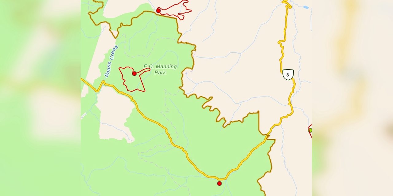
The BC Wildfire Service (BCWS) continues to work on the “out of control” Turnbull Creek wildfire which was discovered on Aug. 31 and has now reached 750 ha in size.
The fire is burning northeast of Hwy. 3 in E.C. Manning Provincial Park on the southern slopes of Snass Mountain. The southwest flank of the fire has backed down to within 1 km of Hwy. 3 with BCWS saying there is no immediate threat to the highway. It advises drivers check with DriveBC before travelling through the area.
It also advises drivers to exercise caution when driving near a wildfire or through wildfire smoke, to watch for fire crews along the road, keep your head lights on, and drive slowly but do not stop to observe the fire, it says.
In an update Saturday (Sept. 6) the BCWS noted that the fire has grown to the east across the Skaist River (also called Taboo Creek) and and upslope beyond it.
“Poor visibility and steep slopes have prevented direct attack on this fire. Ground crews are developing contingency plans to protect the Hwy. 3 corridor if the fire grows in that direction,” it said.
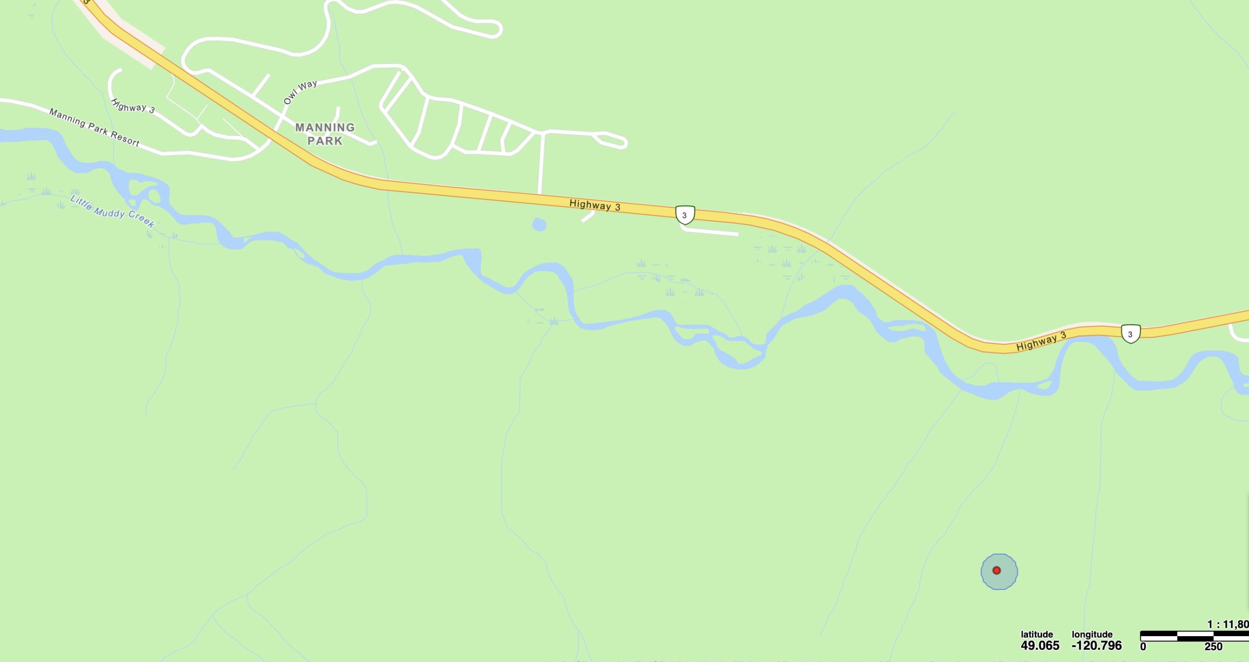
A new fire was discovered Saturday evening which is burning less than 1 km from Hwy. 3 and not far from Manning Park Resort.
BCWS map image
Meanwhile a more recent fire (V12007) was discovered in the early evening of Sept. 6 as a result of lightning. The wildfire is currently listed at 0.009 hectares.
The fire is currently burning less than 1 km south of Hwy. 3 and about 3 km east of Manning Park Resort. There is currently no further information available for this wildfire.
A third fire continues to burn just north of the Manning Park boundary at Holding Creek. The 762 ha wildfire was discovered on Sept. 2 and is listed as “out of control”, likely due to lightning.
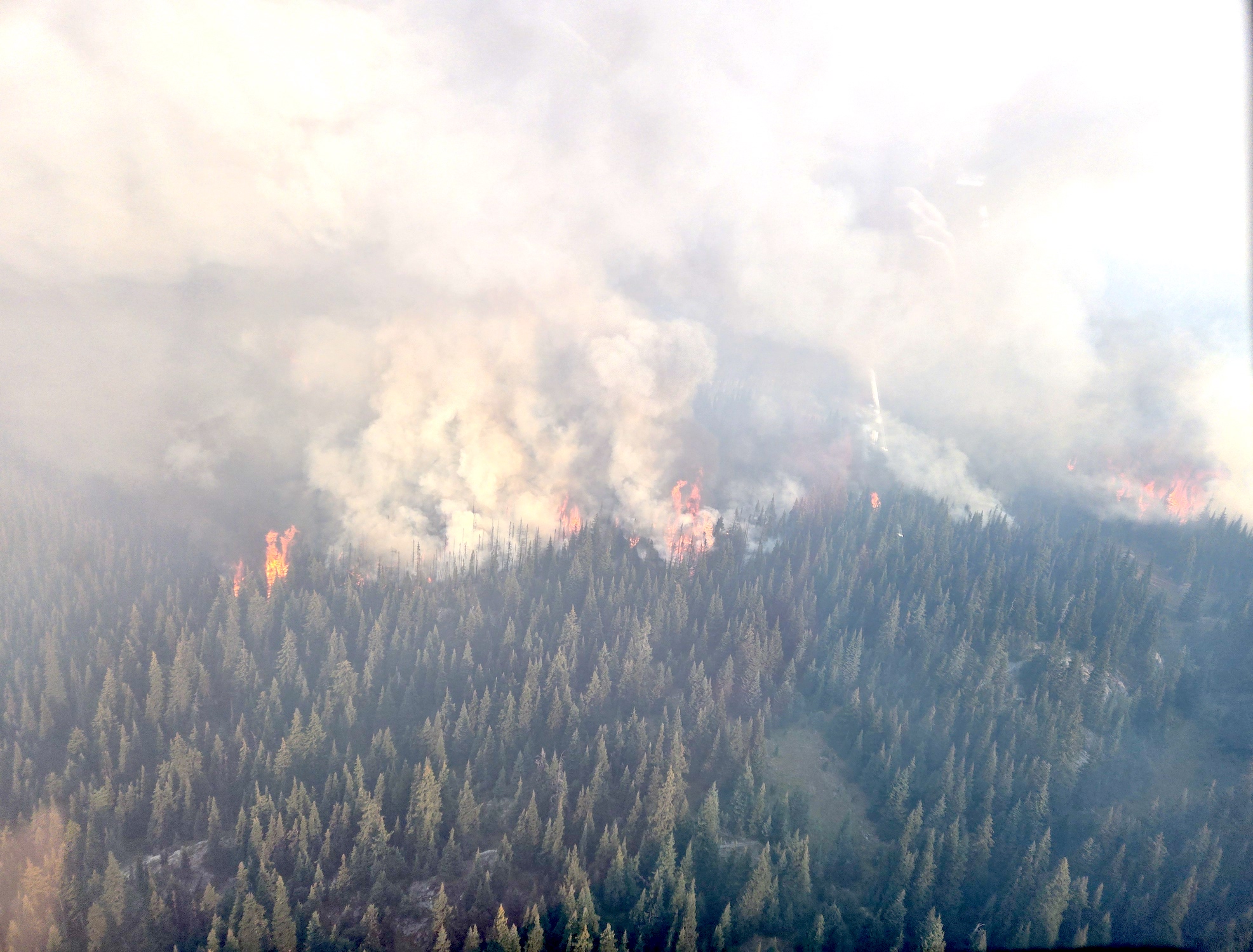
Holding Creek fire activity along the southwestern flank in the morning of Sept. 4.
BCWS photo
In an update on Saturday, Sept. 6 the BCWS said that due to better visibility today they were able to get an updated track and size of the fire, “however we are still expecting some additional growth into the evening.”
This fire is displaying Rank 3 fire behaviour, meaning a moderate to highly vigorous surface fire with a moderate to fast rate of spread.
“Access to this fire has been challenging due to multiple bridges being washed out in the area due to previous flooding. Crews are working on establishing guard and gaining access to the fire by opening old roads.”
Currently 34 firefighters are assigned to this incident along with three helicopters.