Who would make a big deal out of an old ditch?
The Town of Oliver, and for good reason.
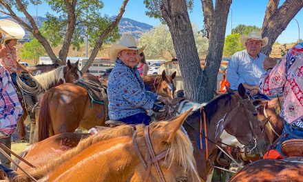
Council is gearing up to celebrate the 100thanniversary of its irrigation canal, fondly referred to as “the ditch.”
On Monday, Corporate Officer Diane Vaykovich said they will formally recognize the occasion with a commemorative (16×20) bronze plaque that will be installed on a base built by Public Works. She noted the plaque will cost about $3,450, while the base will cost approximately $500 to $600. The reception itself is slated to cost between $100 and $200.
Vaykovich said the plaque will likely be installed in the linear park on Fairview Road across from the high school. A public unveiling is planned soon (before the end of the year). This event will be attended by local dignitaries and former irrigation district members.
The corporate officer explained that the celebration will help build Oliver’s community pride; the same as the Spirit of Oliver event and its Canada 150 mural on the archives building.
Vaykovich noted the 100thanniversary of the Local Government Management Association and its decade videos, one of which mentions the formation of the first improvement district in the province, which happened to be “the ditch.”
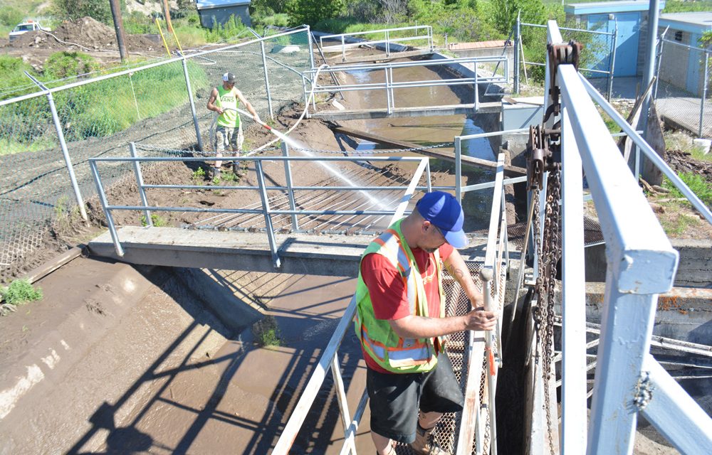
This “ditch” was like no other because it actually led to the establishment of the community.
In 1918, the provincial government purchased 22,000 acres of land in the South Okanagan and proceeded to develop an irrigation system designed to convert 8,000 acres of dry land into viable agricultural land. This land was made available (at a reasonable cost) to returning soldiers of the First World War.
The project was given life by B.C. Premier “Honest John Oliver,” hence the name of the town. He campaigned to pass the “Soldiers Land Act,” which facilitated the purchase of these 22,000 acres between McIntyre Bluff and the US border.
In 1919, the South Okanagan Lands Project was born. Surveying, mapping and construction was underway, employing 100 to 150 men over the next seven years. The canal had an overall length of 40 concrete-lined kilometres. By 1923 the canal reached Testalinda Creek, and was later completed in 1927; a total of 37 kilometres.
In 1964 the canal was turned over to Oliver and Osoyoos fruit growers, who formed the South Okanagan Lands Irrigation District (SOLID).
In 1989 the system was turned over to local government, with Oliver assuming 60 per cent of the assets and Osoyoos 40 per cent.
Today, the canal provides more than 600 irrigation water services, irrigating 5,200 acres of farmland.
