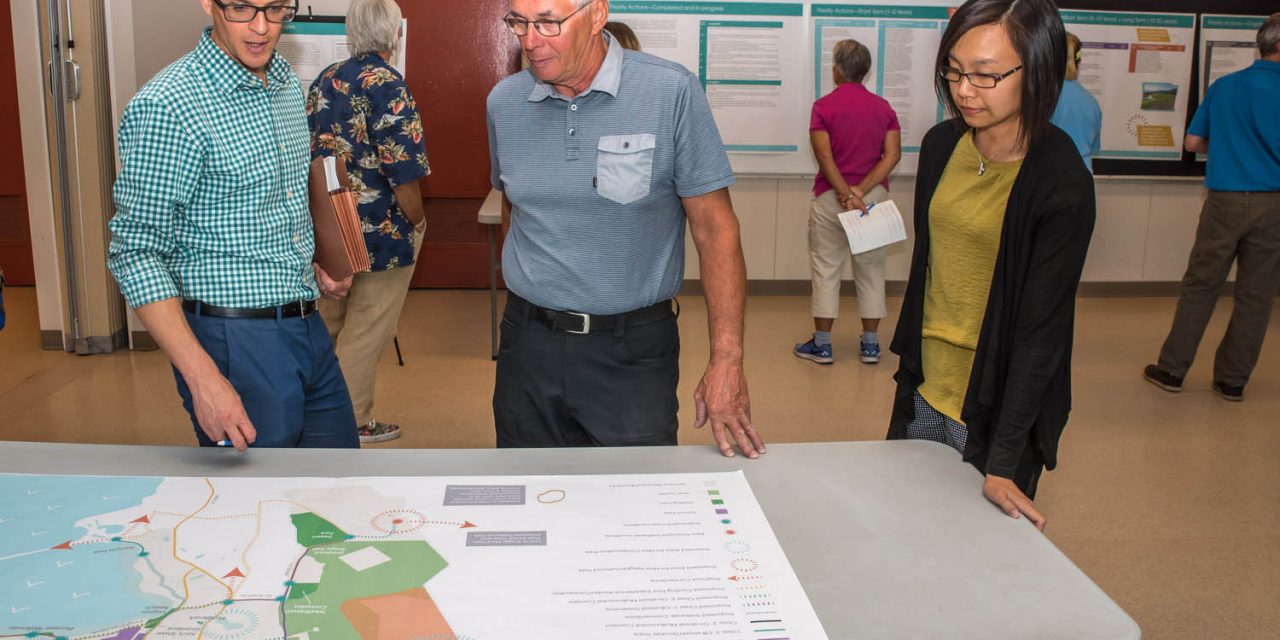
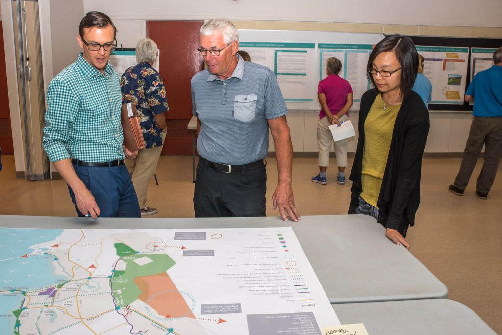
Nalon Smith (left), of Stantec Consulting, talks with local resident Paul Daminato about the Parks and Trails Master Plan for Osoyoos. At right, Dilys Huang, senior planner with the Town of Osoyoos, looks on. (Richard McGuire photo)
A handful of Osoyoos residents, town staff and council members turned out at the Sonora Centre Thursday night to hear about a plan that will shape the town’s parks and trail systems over the next 20 years.
The Town of Osoyoos Parks and Trails Master Plan, now in its final draft, has been in the works for more than a year. Representatives from Statec Consulting gave a one-hour overview of highlights from the dense, 236-page document at an open house.
The plan sets out improvements to existing parks throughout Osoyoos and identifies areas where new parks are needed to meet growing population demand.
It also makes significant recommendations for linking the often-fragmented bits and pieces of pedestrian and bicycle trails into a cohesive and comprehensive network.
“I definitely think it’s important,” said Mayor Sue McKortoff, who emphasized that the town has already implemented or is in the process of implementing some of the recommendations.
One such improvement will be the paving of the Irrigation Canal Trail, which runs from close to Osoyoos Secondary School to Highway 3 near the tourist information centre.
The paving gets underway this fall and there are plans later to add lighting and to improve access to a tunnel under Highway 3 so that it can be used by wheelchairs, mobility scooters and bicycles.
Alain Cunningham, director of planning and development services with the town, said staff will present the plan to council shortly, once any revisions are made, and council could choose to incorporate it under the official community plan, giving it more status.
Until now, there has not been a formal plan for parks and trails and decisions have been made on an ad hoc basis. The new plan provides a 20-year, adaptable roadmap, but doesn’t give any timetable for capital projects or commit to specific spending.
Cunningham points out that it not only outlines capital improvements that can be considered in future budgets, but it also makes suggestions for improving park and trail management practices. Identified issues include enforcement to address alcohol consumption and dog feces and maintenance to control puncturevine.
Among the plan’s highlights, it suggests new parks in priority areas that are underserved including:
- A neighbourhood park in Dividend Ridge;
- A neighbourhood park at the north end of Cottonwood Drive near the Nk’Mip Resort;
- A water access linear park northwest of Lacey Point to maintain public access to the shoreline;
- A water access linear park along Lakeshore Drive to maintain public access to the lake and shoreline while protecting the southeast riparian area of the lake;
- A conservation park in the area between the Osoyoos Golf Club and Strawberry Creek Road to protect biodiversity while also developing sustainable hiking, running and mountain biking trails that will have minimal ecological impact;
- A conservation park and habitat restoration in the “Y” park site northwest of Lions Park;
- A conservation park for Pfingsttag Pond in the future Southeast Meadowlark subdivision area to the south of the new fire hall.
The plan recognizes that a single park can’t meet the needs of all users, but that the park system as a whole can offer a diversity of amenities.
The plan also proposes improvements to existing parks, most notably redesigning Kinsmen Park into an outdoor fitness park for adults including seniors. That park is currently among five ranked as “below expectations.”
The existing Veterans, Gyro and Legion parks would be “seamlessly connected (into an) iconic waterfront park destination for all seasons.”
Proposed trail improvements would link local destinations, such as town parks, and regional destinations such as the KVR Trail, Kruger Mountain and West Bench trails, Haynes Point, Osoyoos Desert Centre and Nk’Mip Resort.
Signage and branding is suggested to promote bicycling experiences tied to other activities such as wine tasting and agricultural tourism.
Better and consistent signage would provide information about trails at trailheads and intersections.
The plan provides suggestions for classes of trails, both off-road and on-road or “multi-modal.”
Multi-modal corridors would range from Class 1, which includes a physical separation between motor vehicles and cyclists, to Class 3, in which only line painting separates cars and trucks from cyclists.
“We started with asking the question of what are the key destinations within the community and beyond that needed to be connected, where people live and where those trips might originate,” explained Justin Ellis, of Stantec Consulting.
The consultation process, he said, involved a variety of ways of engaging the community, some of which appealed to different demographics more than others.
These included 18 people participating in a “charrette” or workshop last October, 124 survey responses and hundreds of online responses through a forum called MindMixer and a mapping utility called StanMAP.
A number of people flagged barriers to use ranging from physical barriers to dangerous highway crossings.
The topic of highway crossings provoked the most discussion after Thursday night’s presentation as Osoyoos resident Sue Gerrard pointed to dangerous traffic areas, notably the intersection of 62nd Avenue and 89th Street.
She said she would hate to see money wasted putting in a trail if it required a dangerous traffic crossing.
Peter Truch, a transportation specialist with Stantec, suggested starting out working with existing infrastructure to begin putting a network in place at a low cost.
He acknowledged there are some “hot spots… that could cause concern.”
Truch noted that with highway crossings, the town must be careful because there is resistance from the provincial Ministry of Transportation and Infrastructure (MoTI) to adding crosswalks that aren’t warranted on highways.
“There’s going to be a bit of balance and trade off over the next 20 years as we start to get some focused areas where we can cross the highway,” he said. “It will be a bit of a stepped approach over a 20-year timeframe. Obviously the town has to work with the ministry.”
Among other public comments on Thursday, Paul Daminato noted that the plan says little about the lake itself.
“There aren’t a lot of communities that have a resource like that which is part of the park system,” said Daminato. “I consider (the lake) to be a resource that is part of the park system too.”
Cunningham pointed out that the town has a role in protecting riparian areas and also that the town is one of very few communities that has zoning for water areas within 100 metres of the high water mark.
RICHARD McGUIRE
Osoyoos Times

Consultant Justin Ellis, of Stantec Consulting, gave a presentation at an open house last Thursday on the final draft of the Parks and Trails Master Plan that will set the agenda for parks and trails in Osoyoos over the next 20 years. (Richard McGuire photo)
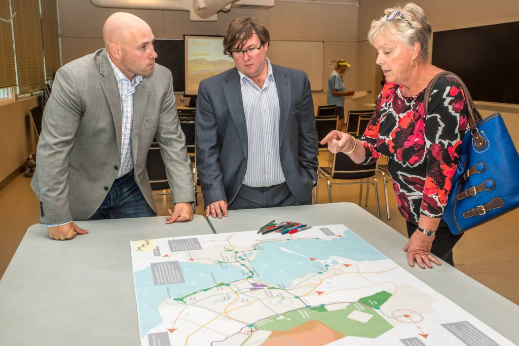
Justin Ellis (left) and Peter Truch, both of Stantec Consulting, discss the Parks and Trails Master Plan at an open house last Thursday with Mayor Sue McKortoff. (Richard McGuire photo)
