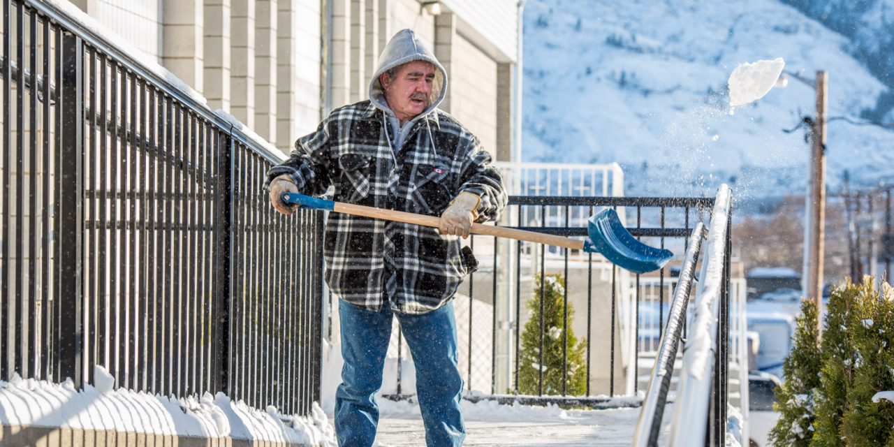
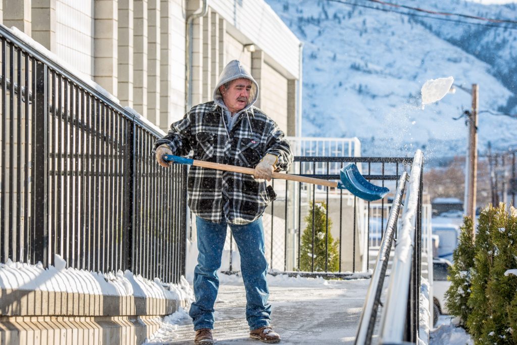
Roger Bruyere shoveled snow off the walkway at St. Anne’s Catholic Church last January. A Weather Network meteorologist says we’re in for another cold and snowy winter, starting around now, but it shouldn’t be quite as bad as last year. (Richard McGuire file photo)
Those who like a white Christmas probably won’t be disappointed this year. Those who like early golf probably will be.
We’re currently in the midst of a weather pattern change that’s expected to bring colder and snowier weather.
This winter should be a slightly less extreme version of last year’s cold and snowy winter in the South Okanagan, said Michael Carter, meteorologist with the Weather Network in an interview Monday.
This Thursday marks the start of astronomical winter, the winter solstice, but for meteorologists, winter here starts at the beginning of December.
“The short-term weather is certainly interesting for you guys,” said Carter, referring to the winter storm expected to hit Monday night and into Tuesday.
“Heading into the Christmas holiday, it’s certainly going to look very Christmasy. I think the weather for the coming week could be indicative of things to come.”
In early to mid December, the B.C. Interior was one of the few parts of Western Canada that have been at or below normal temperatures, he said.
In contrast, temperatures on the B.C. coast and into Alberta have tended to be milder.
“As we get into the new year, I think the overall story in the medium range is it’s certainly going to be more wintry, more chances of snowfall and cold temperatures are going to develop,” said Carter. “After Christmas, we’re going to see the cold air really sink in.”
After this week’s snowstorm, temperatures will start to ramp down as this week progresses bringing daily high temperatures in the minus five or six degree range, he said.
“That’s certainly several degrees below seasonal, even for this time of year, and that’s going to be the first of I think several rounds of Arctic air that we’re going to have to deal with as we move through the end of December and into early January,” said Carter.
He said he also expects greater chances for snowfall in addition to the cold heading into January and February.
“We certainly aren’t expecting a completely severe bitter winter from start to finish,” said Carter. “There’s going to be breaks. Especially into January and February, we may get a break here and there, maybe even an extended thaw if we get lucky, but that’s going to be against the background of an overall colder pattern.”
One factor affecting this year’s weather is that a La Niña pattern has developed, he said, referring to colder than normal water in the equatorial Pacific Ocean off South America.
This impacts B.C. weather, especially in winter affecting the strength and position of the Jet Stream and the tracks that storms take, he said.
“In La Niña winters, we do tend to be a bit more open to Arctic air in the West and we do tend to be in a bit more stormy pattern, which helps bring in that Pacific moisture a little bit more,” said Carter.
Last year B.C. had an especially severe winter with several noteworthy snowfalls even hitting Vancouver, he noted.
“This year’s pattern for the West I think overall has a similar look, but it is probably a less extreme version of last winter’s pattern,” he added.
There may be more frequent breaks in the cold and more chances for mild air to take hold for at least brief periods this season, Carter said.
More information is available at www.theweathernetwork.com/winter.
RICHARD McGUIRE
Osoyoos Times


