By Richard McGuire
Special to the Chronicle
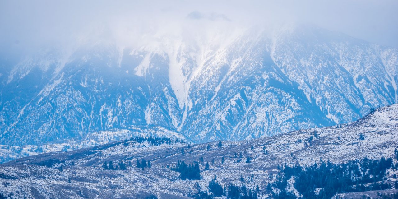
Accumulation of snow in January has pushed snowpack levels well above normal for this time of year, but it’s too early to say whether this could cause spring flooding.
The Okanagan Basin is at 131 per cent of normal and the Similkameen is at 135 per cent of normal, according to Feb. 1 figures released last Wednesday by the B.C. River Forecast Centre.
That’s much higher than a year ago when the Okanagan was at 78 per cent of normal and the Similkameen was at 74 per cent and there were fears of a dry spring. Instead, there was flooding last spring.
“At this time of year, it’s anyone’s guess,” said Anna Warwick Sears, executive director of the Okanagan Basin Water Board. “It’s not like it’s a completely unpredictable situation, but it’s one that could change.”
She points to graphs showing snow pillow development at Mission Creek and Brenda Mines near Kelowna considerably more snowpack than last year, but the graphs are still far from their peak, which tends to be in April.
“We’re still nowhere near peak snowpack yet,” she said, adding that weather forecasts predict a cooler than average spring with higher than average precipitation.
By early February, nearly two thirds of the annual B.C. snowpack has typically accumulated.
The River Forecast Centre’s Feb. 1 Snow Survey and Water Supply Bulletin noted that the first half of January was mild with light precipitation and subdued snow accumulation.
“Several significant storm events affected the province in the second half of January, especially for the southern half of the province,” the bulletin said. “January precipitation totals were well above normal for the southern half of B.C.”
This winter has been affected by La Niña conditions, which result from sea surface temperatures in the equatorial Pacific Ocean. These tend to bring cooler and wetter winters to B.C.
The U.S. National Weather Service is forecasting that La Niña will persist through the winter, changing to a more neutral pattern in the spring.
Short-to-medium-term forecasts suggest near-normal temperatures through February, the bulletin said.
“High snowpacks in the South Interior, including the Skagit, Similkameen and Okanagan may be an early indicator of increased season flood risk for the upcoming freshet season,” the bulletin cautions.
Ultimately, it will be the weather over the next two or three months that will influence the severity of the snowmelt when it comes.
“At this time of year, we just have to keep an eye on things,” said Sears. “Just make plans and see what happens.”

